The Sentinel-1 earth observation satellite
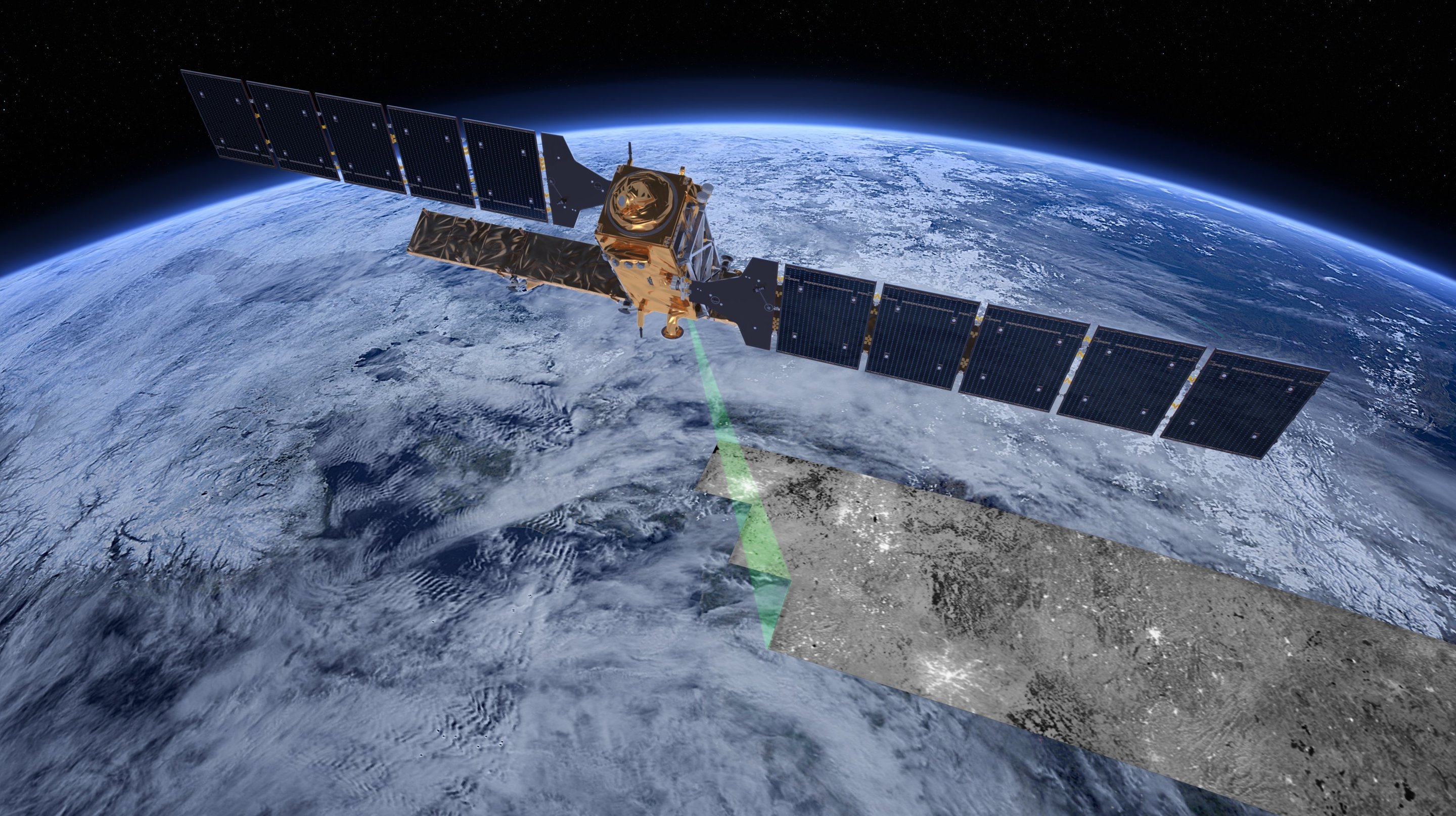
Digital rendering of the earth observation satellite Sentinel-1. Satellites such as Sentinel-1 and ALOS-2 carry advanced synthetic aperture radars that can provide data to map changing land cover, ground deformation, ice shelves and glaciers, and can be used to help emergency response when disasters such as floods strike, and to support humanitarian relief efforts at times of crisis.
ESA / ATG medialab
Licence type