Figure 6 - Mars ridge
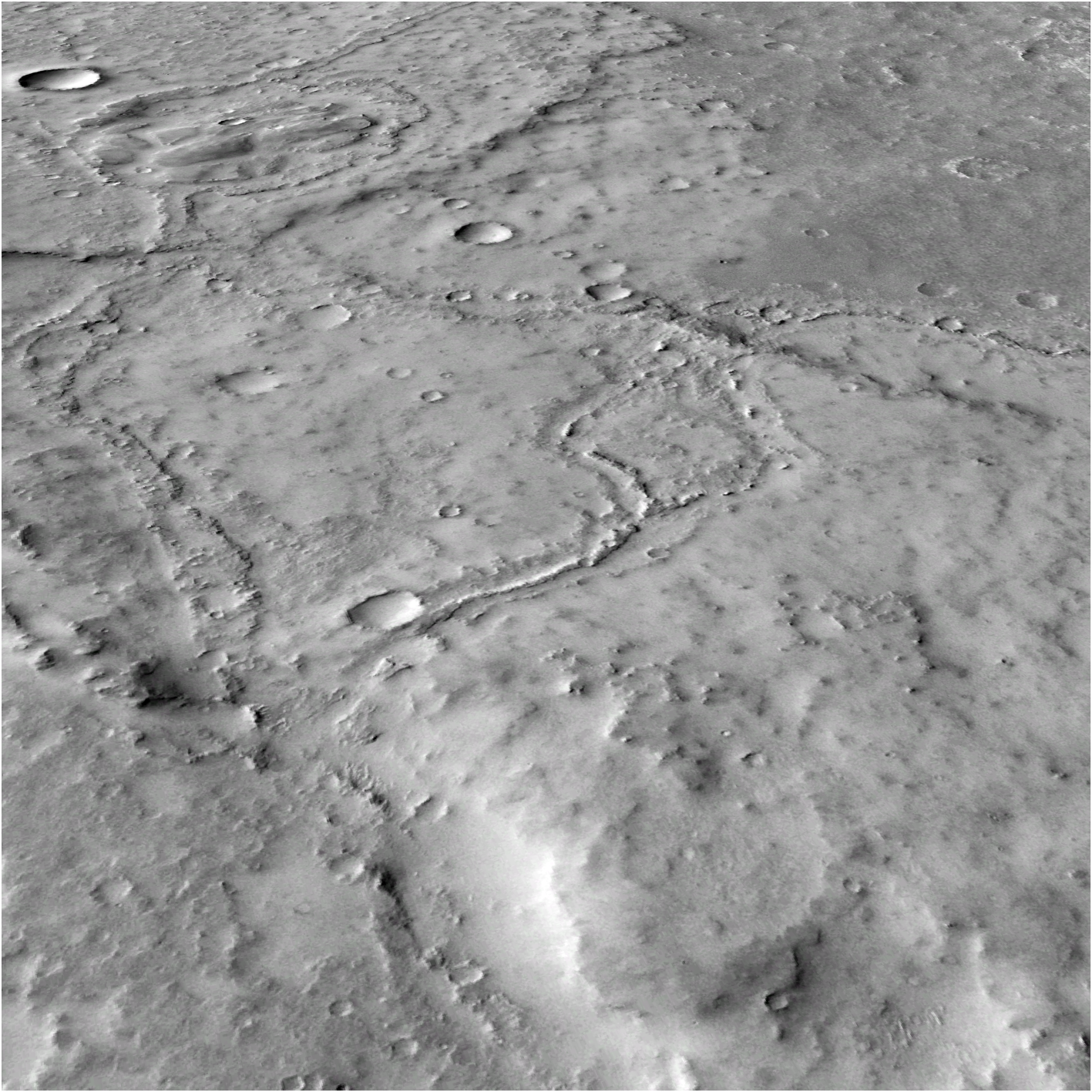
Oblique view of part of a system of FSRs, recording multiple river tributaries, likely all active at the same or similar times. This shows rivers meandering, areas where river banks have burst and fine layers of sediment have been deposited around the river, and branching. At the top of the image is a really clear example of an area where two FSRs intersect with an infilled crater. This is likely where the river flowed into the crater, filling it up and then breaching the other side to continue through the crater and down to the bottom of the image. CTX image: MurrayLab_V01_E020_N-20_Mosaic
NASA/JPL/MSSS/The Murray Lab
Licence type