Article Main Body

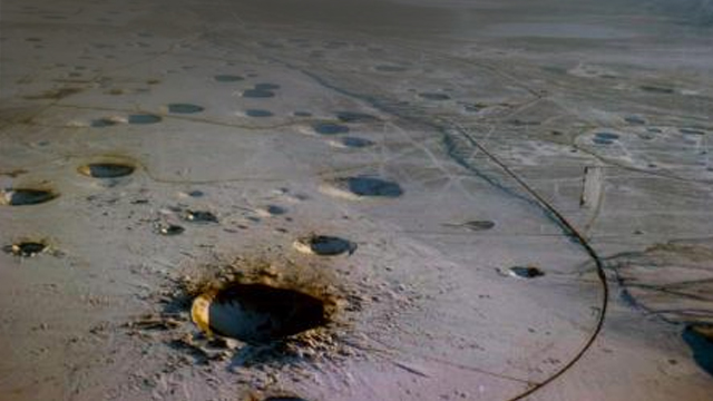
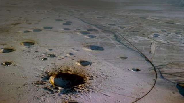
The Nevada test site used until 1992
Image Credit: CBTBO
A paper in an RAS journal documents traces of a North Korean underground nuclear test in 2016 – demonstrating the value of a technique not used since 1992. InSAR data complements seismic methods more widely used to monitor such tests.
Interferometric Synthetic Aperture Radar is a technique to map surface deformation using repeated passes of a satellite scanning the Earth with radar. Displacements of a few millimetres can be detected, making it a powerful tool for tracking slow creep deformation in tectonically active areas. Now Meng Wei, in a paper published in Geophysical Journal International on 13 February, describes surface deformation that results from either a landslip or uplift after an underground test explosion on 6 January 2016. The landslip would involve displacement of 10 centimetres over an area of 1 square kilometre, coincidentally close to the location of the nuclear test. If, as seems likely, the uplift is consistent with an explosion with a yield of something between 11.6 and 24.4 kilotons of TNT.
This estimate is consistent with estimates of the size of the test from forensic seismology and provides a valuable new and independant means to confirm the location and scale of covert underground tests. InSAR is a rapidly growing field with greater potential as more satellites are launched, allowing more frequent assessment of surface deformation. These data came from the Japanese JAXA ALOS-2 satellite; ESA's Sentinel satellites were not able to measure this event.
Read more in GJI.
 RAS
RAS

