Log-in - this website
If you are applying for a grant, you will need to create an account on this website to access the desired form. Your log-in for the Fellows' website does not apply here, so you will need to create a separate account.
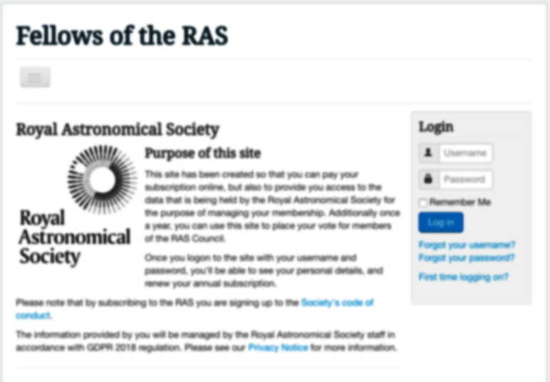
Log in - Fellows' website.
Current Fellows can log in here to manage their contact information, pay their membership fees and vote in the council elections.
We at the Royal Astronomical Society take the protection of your personal data seriously. We do not sell your data. For more information please see our privacy policy.